
Discover the major metropolitan areas of Europe in a clean, high-contrast map view designed for clarity and performance.
Visualizing Urban Scale
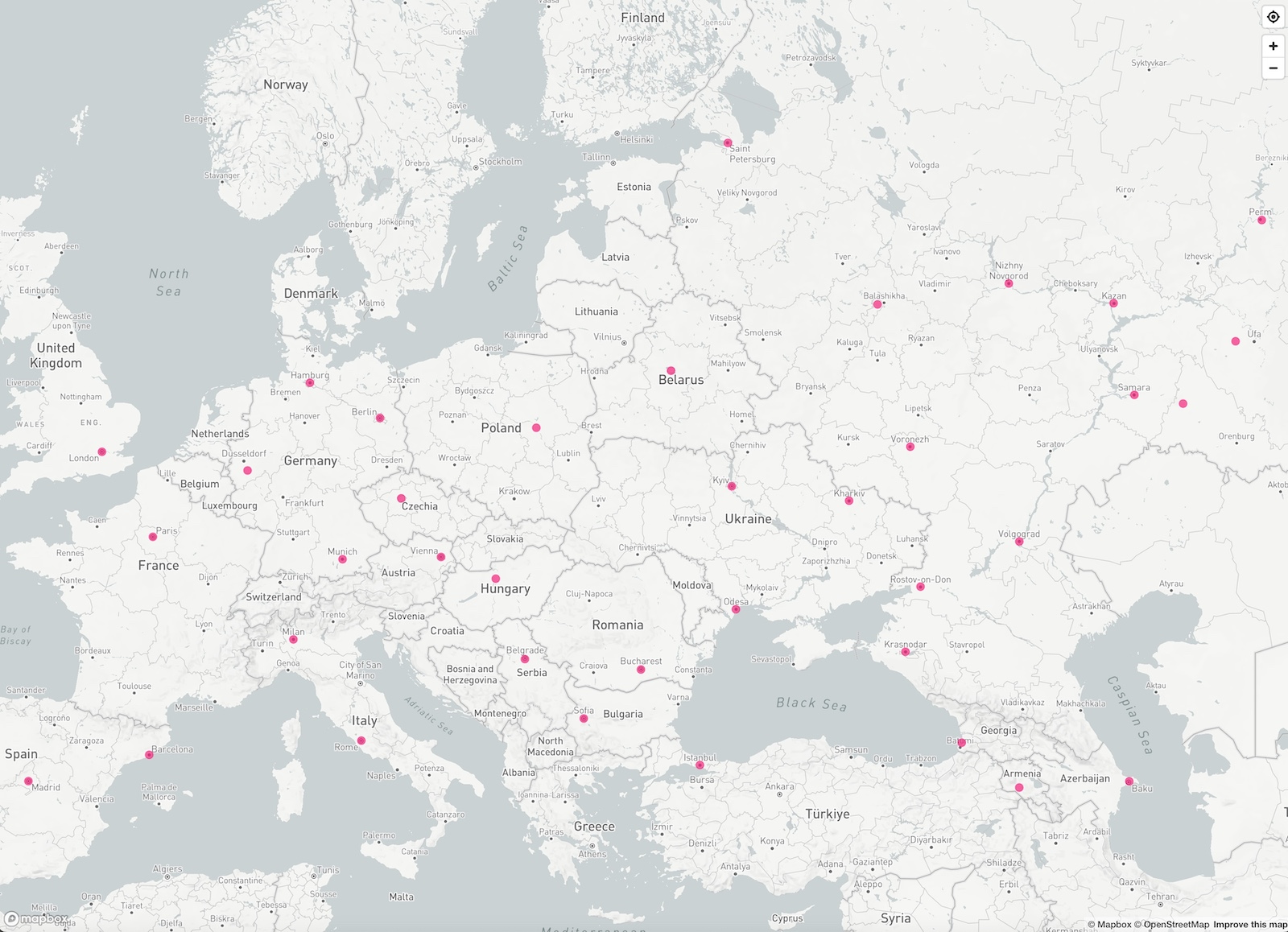
Europe is home to some of the world’s most densely populated and historically rich urban areas. This demo showcases cities with more than one million inhabitants, using HDmaps’ Light Map Style — a design that emphasizes spatial context without visual clutter. The result: a readable, minimalist view that’s ideal for presentations, dashboards, and geographic storytelling.
Map Highlights
- Population-based point sizing for over 40 major cities
- Clean white-based style with soft blue accents
- Easternmost city: Perm (Russia), westernmost: Madrid (Spain)
- Hover markers display live population data
This type of visual is especially useful for reports and interactive data portals where map clarity and fast loading times matter most. The Light Map’s simplicity provides instant readability even when embedded into smaller views or mobile layouts.
Live Demo
Explore the HDmaps Light Map demo below:
You are currently viewing a placeholder content from Default. To access the actual content, click the button below. Please note that doing so will share data with third-party providers.
More Information